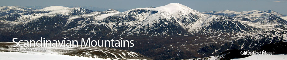
Scandinavian Mountains over 2000 metres - James Baxter
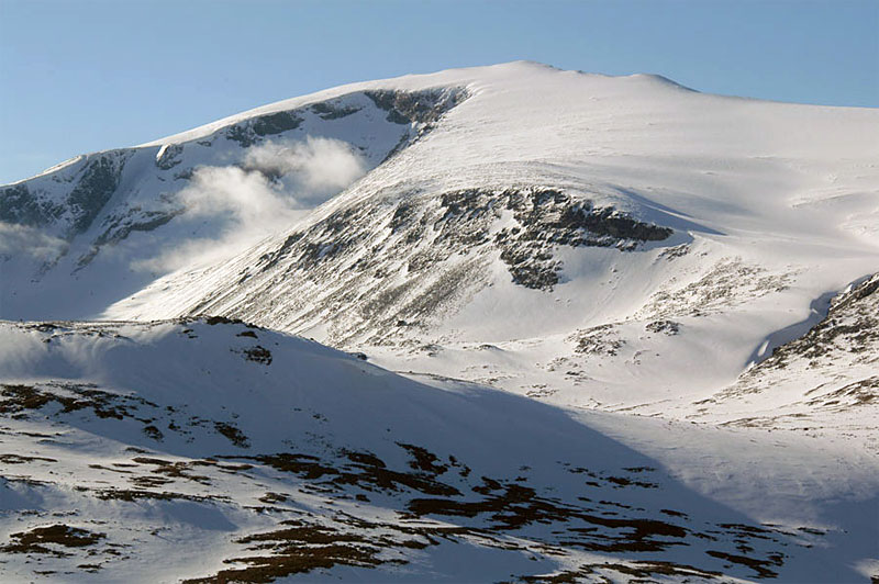
Areas › Glittertind Massif › Glittertind › Alternative Routes
Glittertinden can be climbed from a number of starting points. The best is arguably from Glitterheim and this is the route which I have described below in detail. The other main alternative is from Spiterstulen lodge; which is very attractive as a winter option as the road here is usually open through the winter while road to Glitterheim lodge is always blocked in the winter until late spring and necessitates a days skiing to reach it.
 From the parking place at Spiterstulen lodge at the end of the toll road up Visdalen head north down the road for 700 metres again until there is a cairn and sign to Glitterheim. In the winter branches every 30 metres will indicate the start of the route. Initially the route follows the main path to Glitterheim, Gl.1, as it follows the cairns (or in winter/spring the branches) north eastwards, diagonally ascending the slope up towards the small saddle south of Skrautkampen knoll, 1443m, for a short hour.
As the path reaches the saddle it levels off and heads east. Follow it east up a slight rise for 1 km then across undulating ground for another ½ km until there is a marked divide in the path. Take the cairned north east fork and after 200 m you should arrive at the Skauta stream which is easily forded. In the winter the branches marking the route to Glitterheim lodge will continue to the south east of this fork across Skautflye and should not be followed if you intend to ascend Glittertinden.
After crossing the Skauta stream continue north east towards the deep Stiendalen valley and after ½ km you should arrive at Steindalselve stream. Continue up marked path across boulders on the south side of the stream for 2 km until a steep spur divides the valley. The marked path goes up this steep spur, keeping to the north side of it for an hour before the gradient eases somewhat as you gain the main shoulder.
Once on the shoulder the marked path continues to ascend eastwards across the scree for another ½ hour to reach the edge of the summit ice cap. Here the cairns stop and you should not venture further in poor visibility as there is a significant risk of falling off the cornice to the north down the perpendicular north face. In good visibility continue due east for the remaining ½ km to the summit across the almost flat ice cap. In winter time is better to continue up Stiendalen valley up to the saddle between Glitter-rundhøe and Glittertind. From the saddle head north across steeper slopes for a good ½ hour to gain the main ridge and the marked path again.
The return is by the same route or it is possible to continue down the east ridge to Glitterheim as described below. The round trip back to Spiterstulen is about 9 hours.