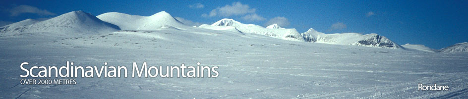
Scandinavian Mountains over 2000 metres - James Baxter
Areas › Rondane › 17.5 Sagtind (2018m)
Sagtind, 2018metres, is a long ridge, steep on three sides and vertical on the fourth. This ridge is connected to the mountains of Steet and Storsmeden by a very broken and jagged arête. On each side of the this long mountain ridge are wild and remote corries which are seldom visited.
| The Route from Rondvassbu Lodge | |
|---|---|
      |
|
Leave Rondvassbu and walk south along the road for about 300 m, then turn west and cross the Store Ula river over a bridge. After this bridge head north west across the delta towards the Jutulhogget gorge and cross the stream at the bottom of the gorge over another foot bridge. After this second footbridge the path climbs gently north west for a km until it divides. One branch goes towards the cliffs of Svarthammaren and the other heads directly north up the valley of Rondhalsen.
 Take the branch that heads north west towards the cliffs of Svarthammaren. About halfway between this junction and the cliffs there is an ancient reindeer trap just to the north side of the path. Pass to the south of the cliffs and enter into the desolate Kaldbekkbotn corrie which is dominated by the huge bulk of Storsmeden to the north. Continue to follow the marked path across surprisingly easy ground for two km crossing the only stream in the corrie. The path take you past a couple of small shallow lakes and under the south face of Storsmeden. Just to the north of the largest lake in the corrie, marked as 1571m, the path starts to head diagonally up to the saddle to the west of Storsmeden. This again is a surprisingly easy ascent to the saddle itself.
From the top of this col descend 150 metres down the north side into the remote Langholet corrie. Early in the summer season there are very likely to be a steep snowfield from the saddle down to Langholet corrie. The path here is also surprisingly easy to walk along as much of the surface of this corrie is small well packed moraine. Follow the path along the corrie floor for just over two km then leave the path which heads north and veer to the north west round the north side of lake 1450 metres to the foot of the north ridge.
 The north ridge itself is climb of some 500 vertical metres over a horizontal km and is quite sustained. There are a number of small steps that have to be avoided usually on the west side. Generally the whole ascent is over steep scree and broken plates which as a rule are not that stable. The gradient eases slightly towards the top but the going is still taxing.
The return is by the same route to lake 1450 metres then to Dørålseter or Rondvassbu lodges as appropriate. It is also possible to continue the traverse by descending down the south arête by reversing the route description given above. If it was planned to traverse the whole mountain it would be better to ascend by the arête and descend the north ridge as it may be difficult to find the place to begin the traverse to avoid the loose crag and pillar if descending from the summit southwards. There would not be a substantial difference in the total times and distances if the traverse of the whole mountain was opted for instead of an ascent and descent using the north ridge only.